Here's a shameless promo for my Earthwatch.org citizen science expedition. Get involved!!
Timelapse photography around Churchill, Manitoba
Check out these videos to get a sense of how snowpack varies across the landscape. These photos also capture the fallout of the Great Churchill Blizzard of March 2017. Check out the Roberge video for particularly epic shots of quadruple the snow!
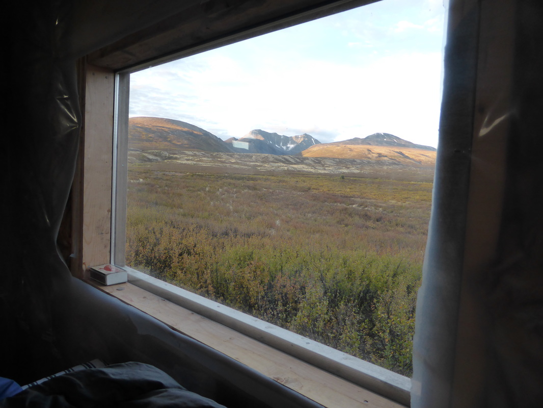
Timelapse imagery from the Canol Heritage Trail in the eastern Selwyn-western Mackenzie Mountains
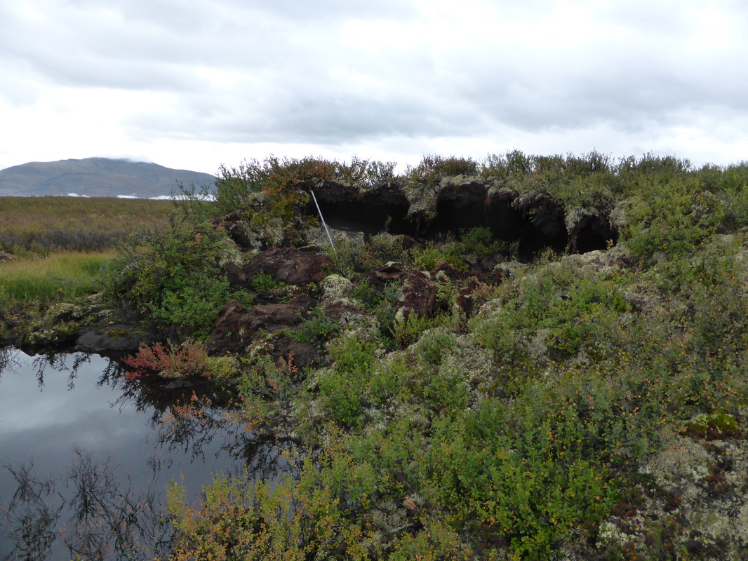
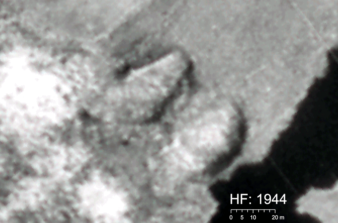
Time-lapse of palsa thaw and disappearance from 1944 to 2010 in the western Mackenzie Mountains. Upper panel: site Hare Foot (74% aerial loss). Lower panel: site Goose flats (90% aerial loss). The 1944, 1949, 1974, and 1981 images are from aerial photographs and the 2010 image is from WorldView satellite imagery:.

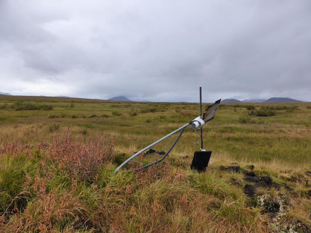
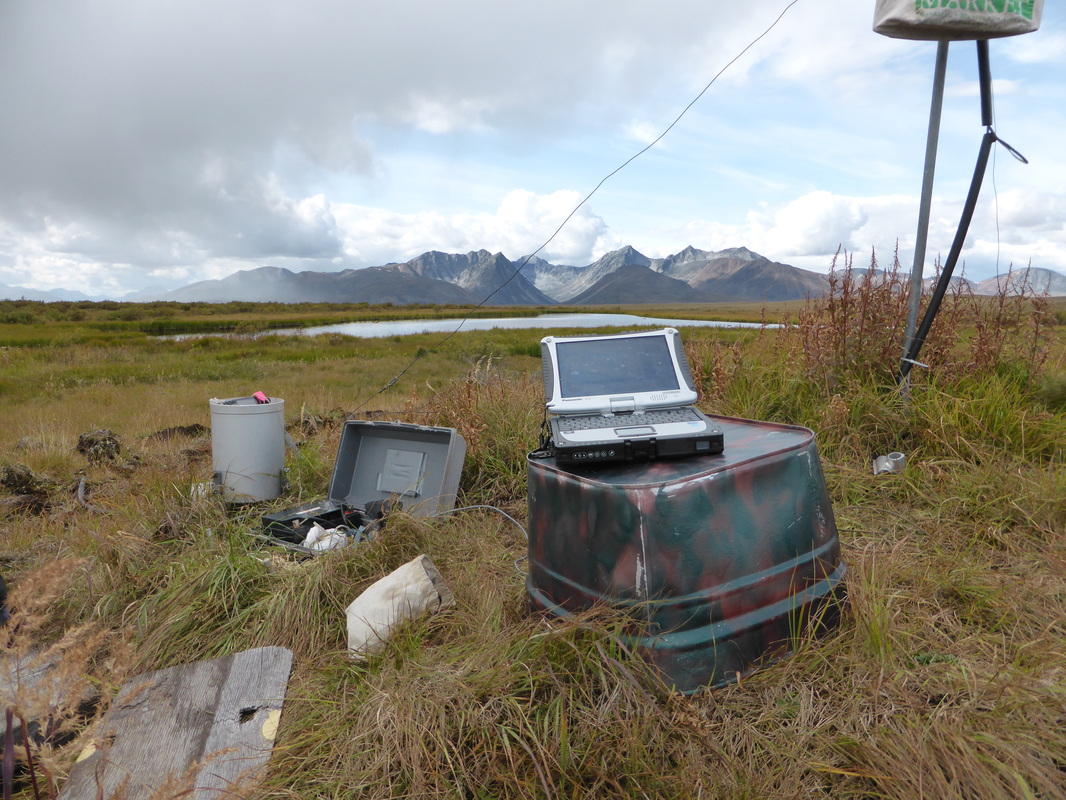
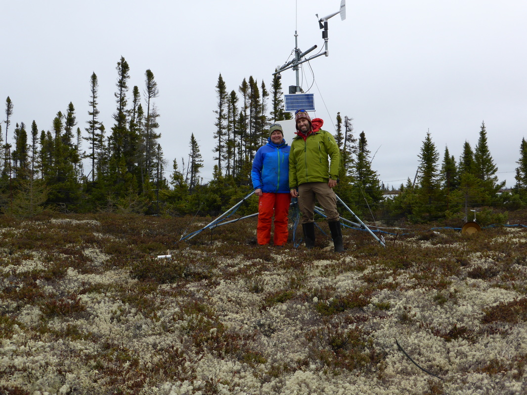
Timelapse imagery for my high- and low-elevation permafrost monitoring sites along the Canol Trail.
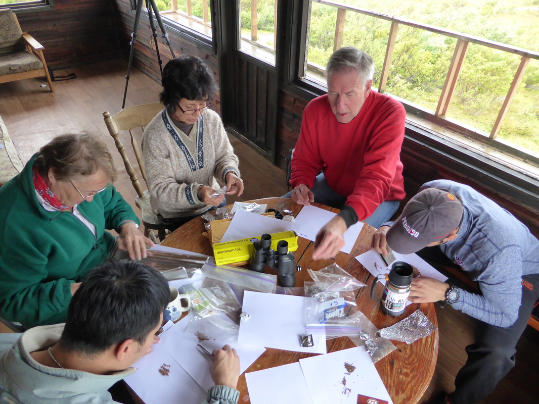
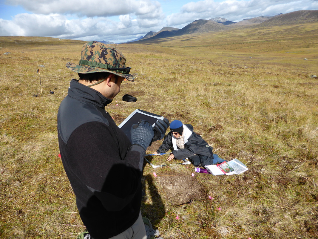
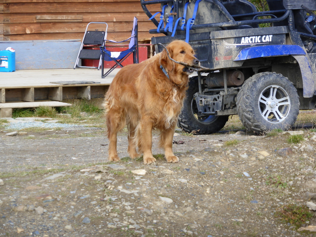
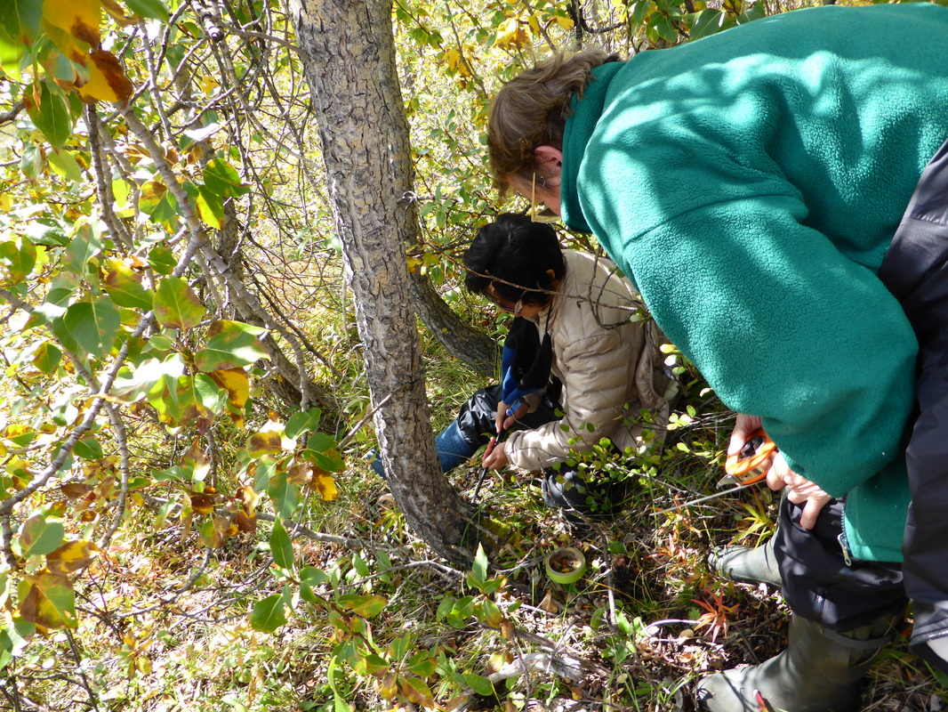
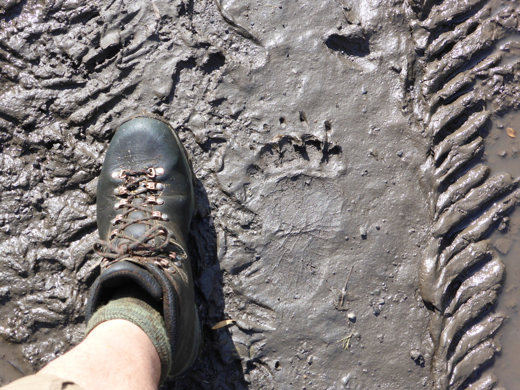
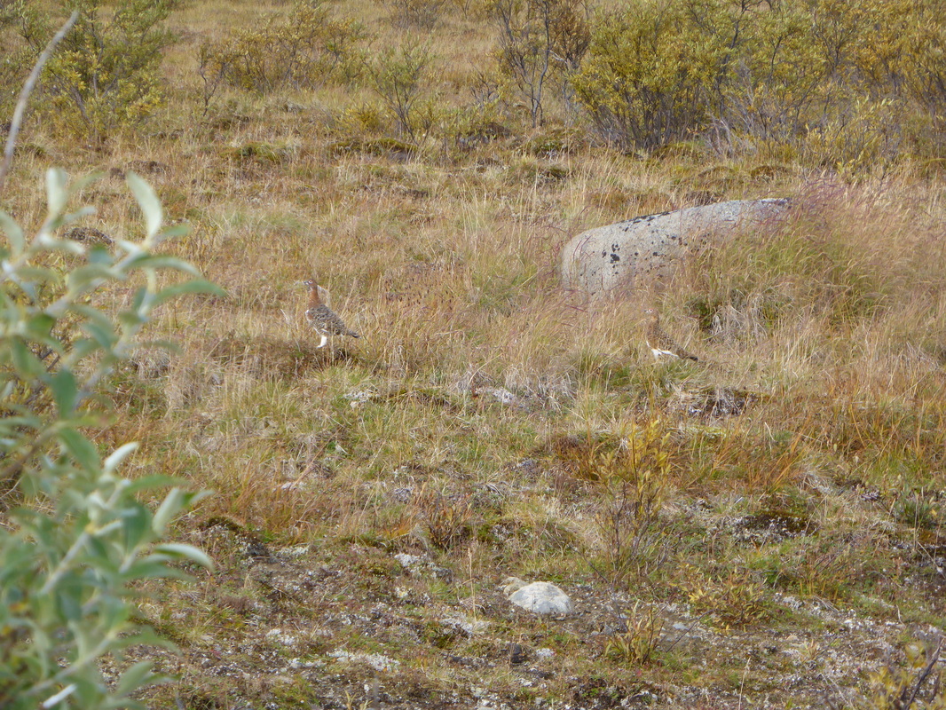
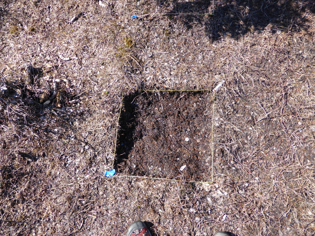
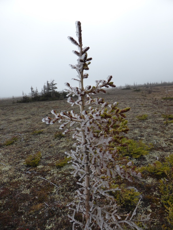
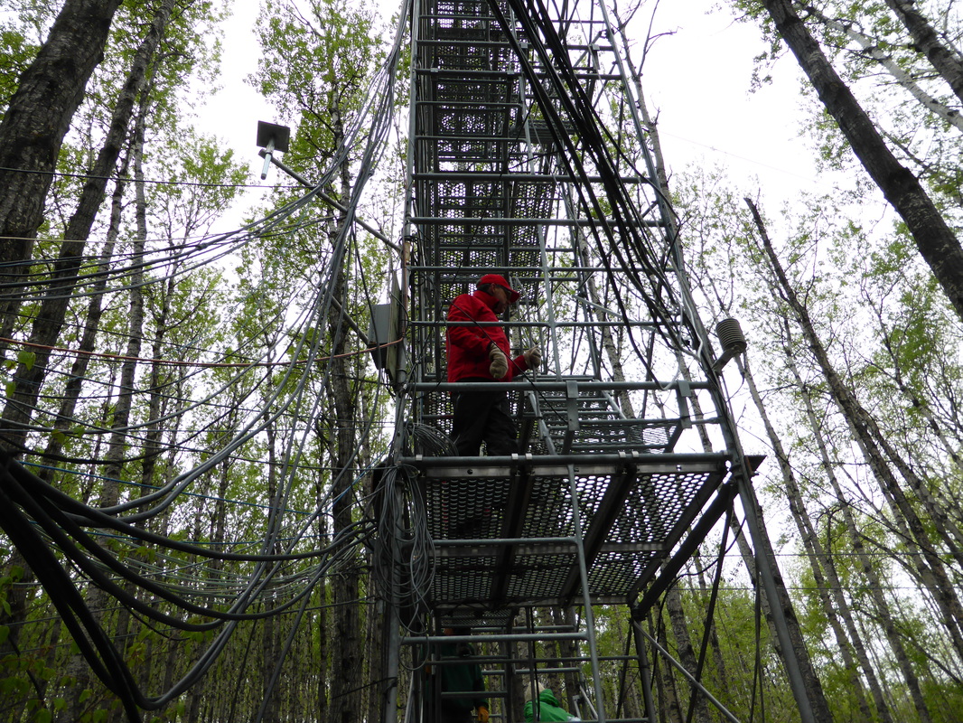
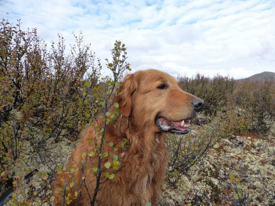
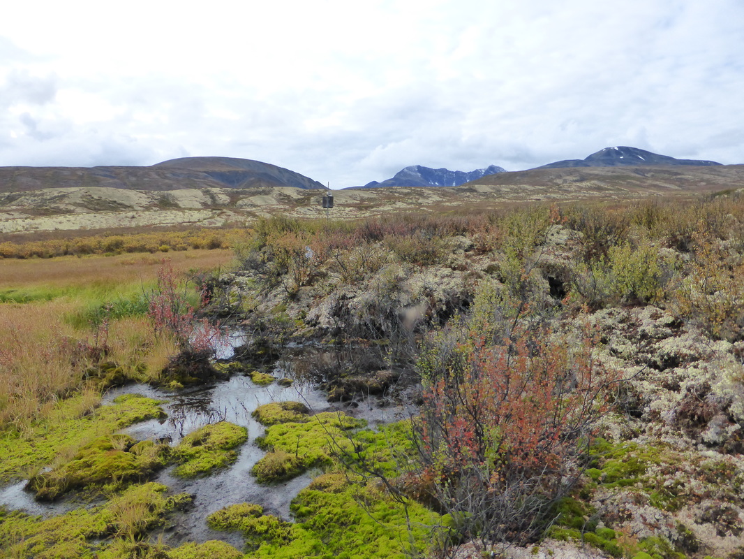
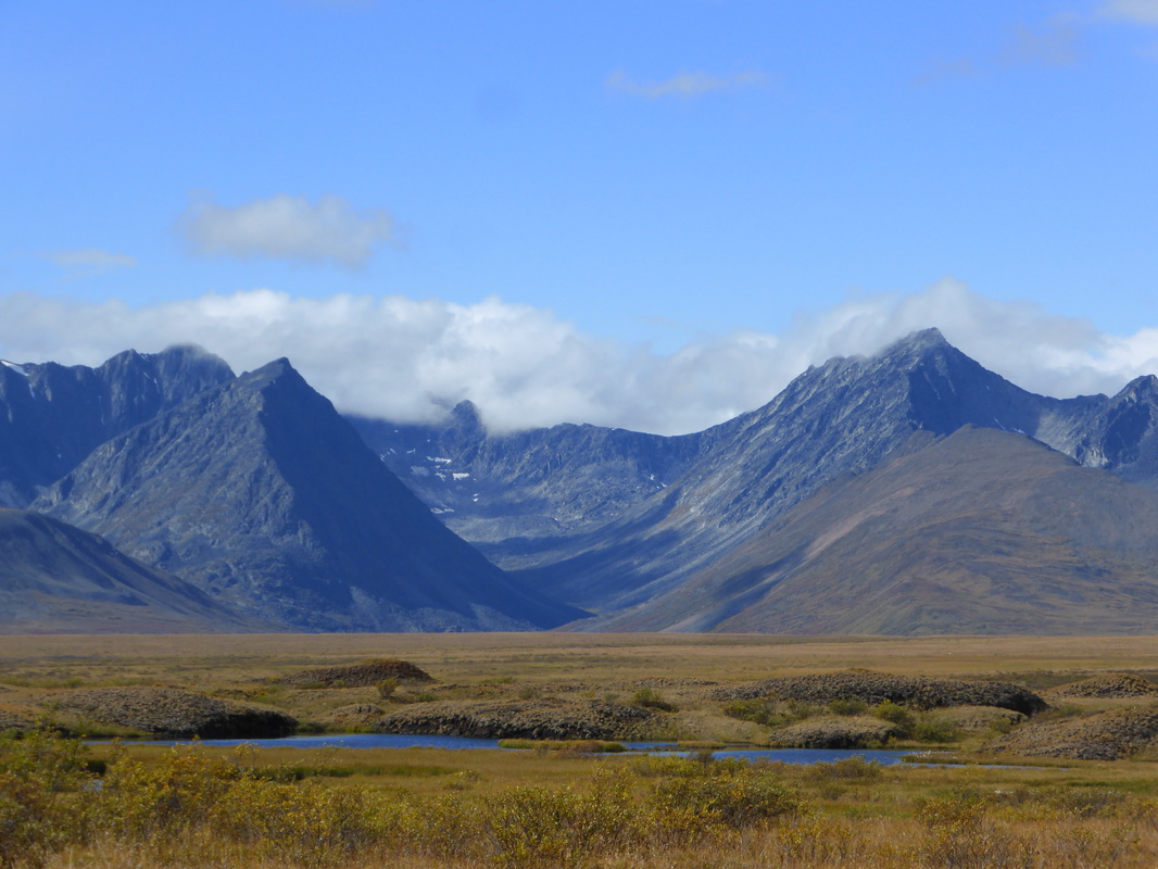
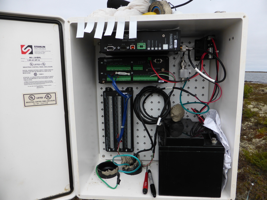
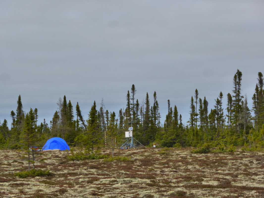
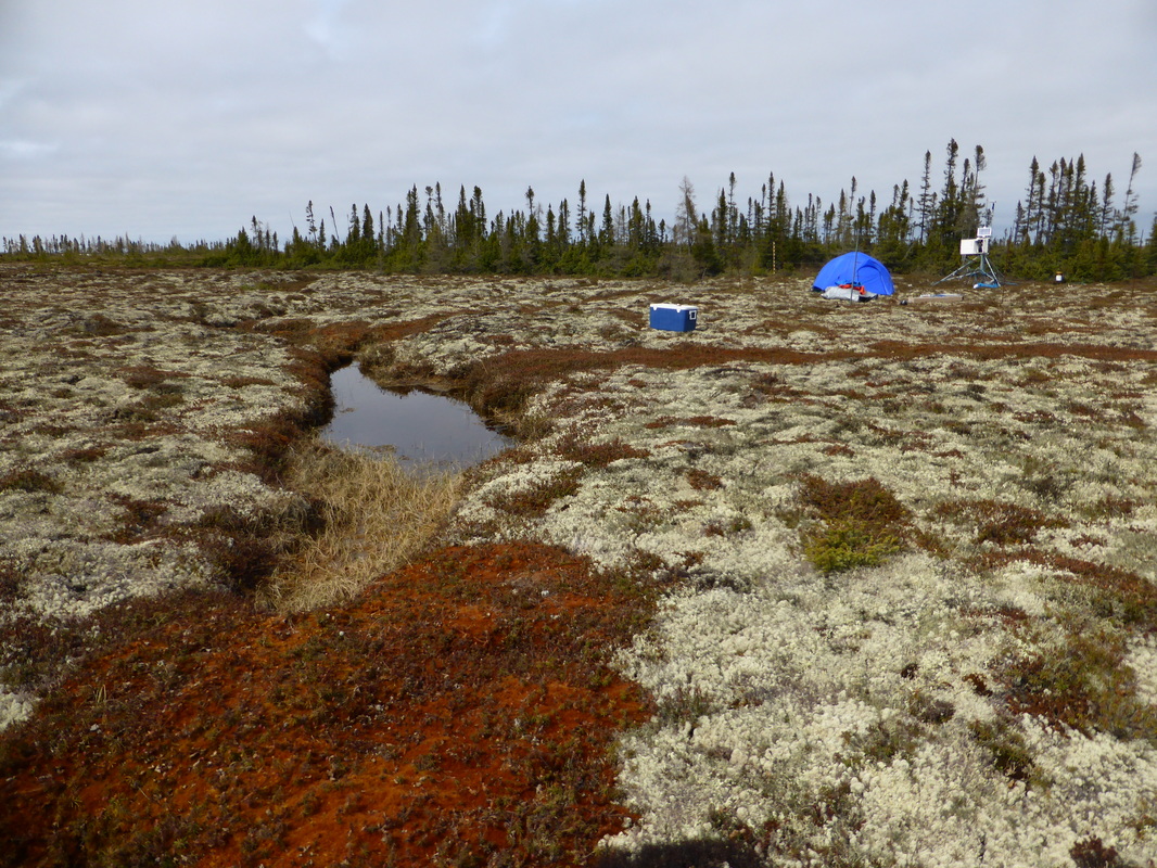
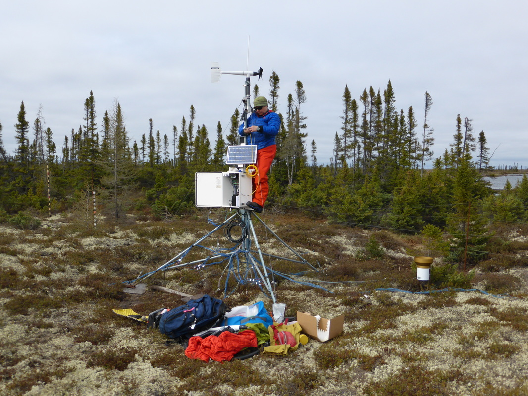
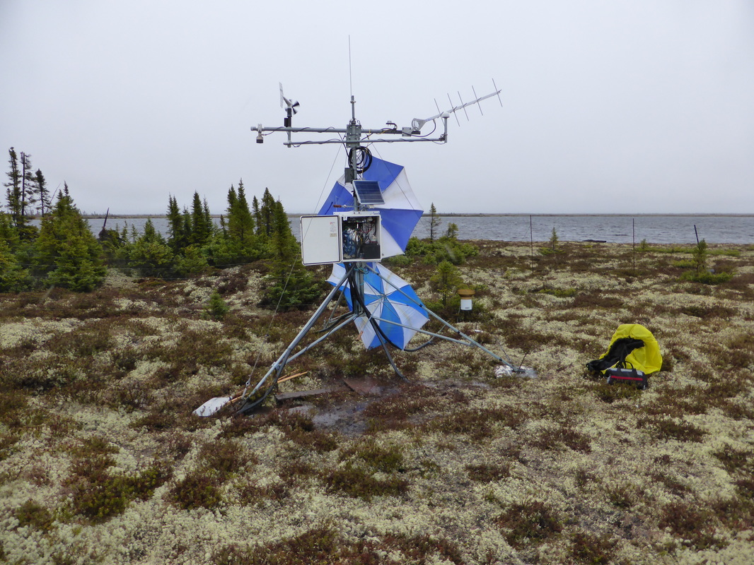
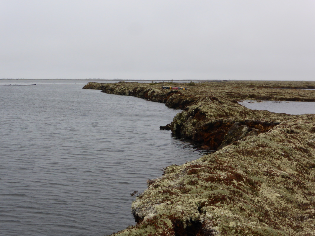
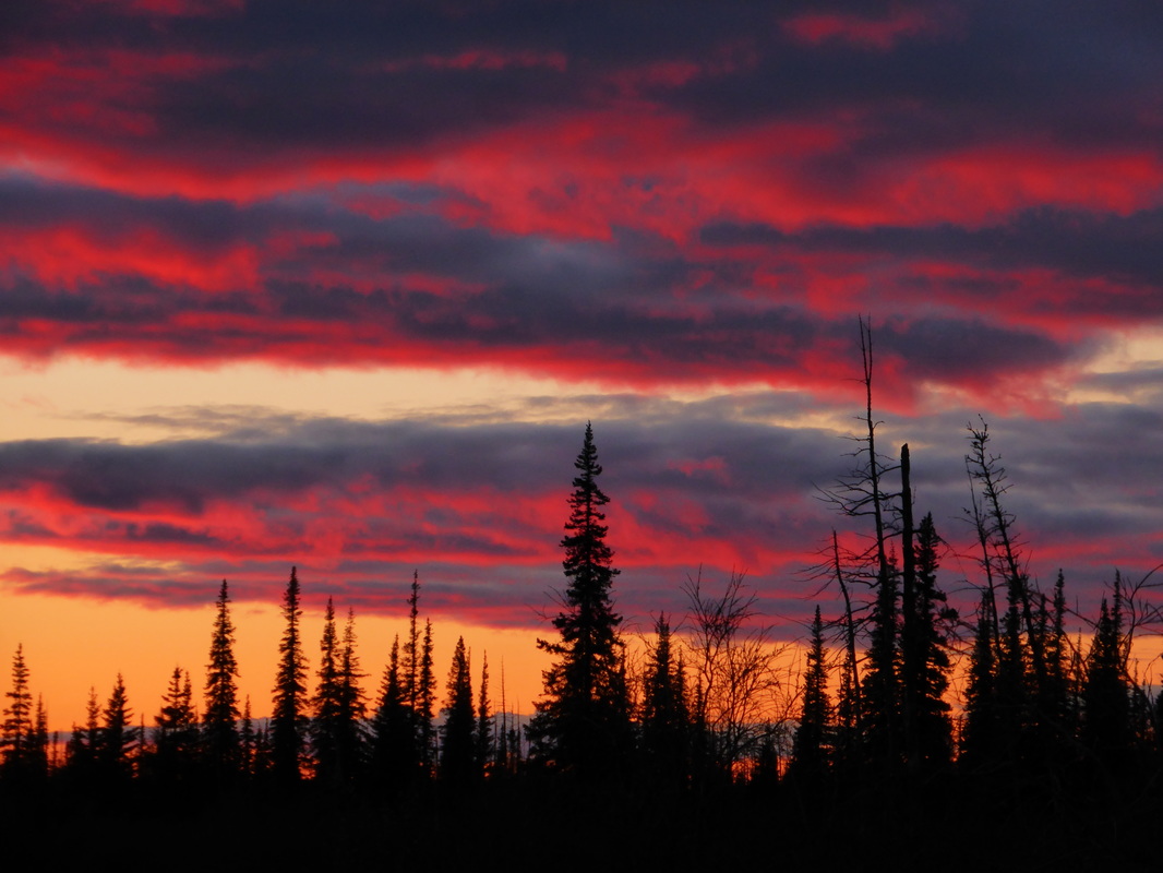
Some photos from the field...
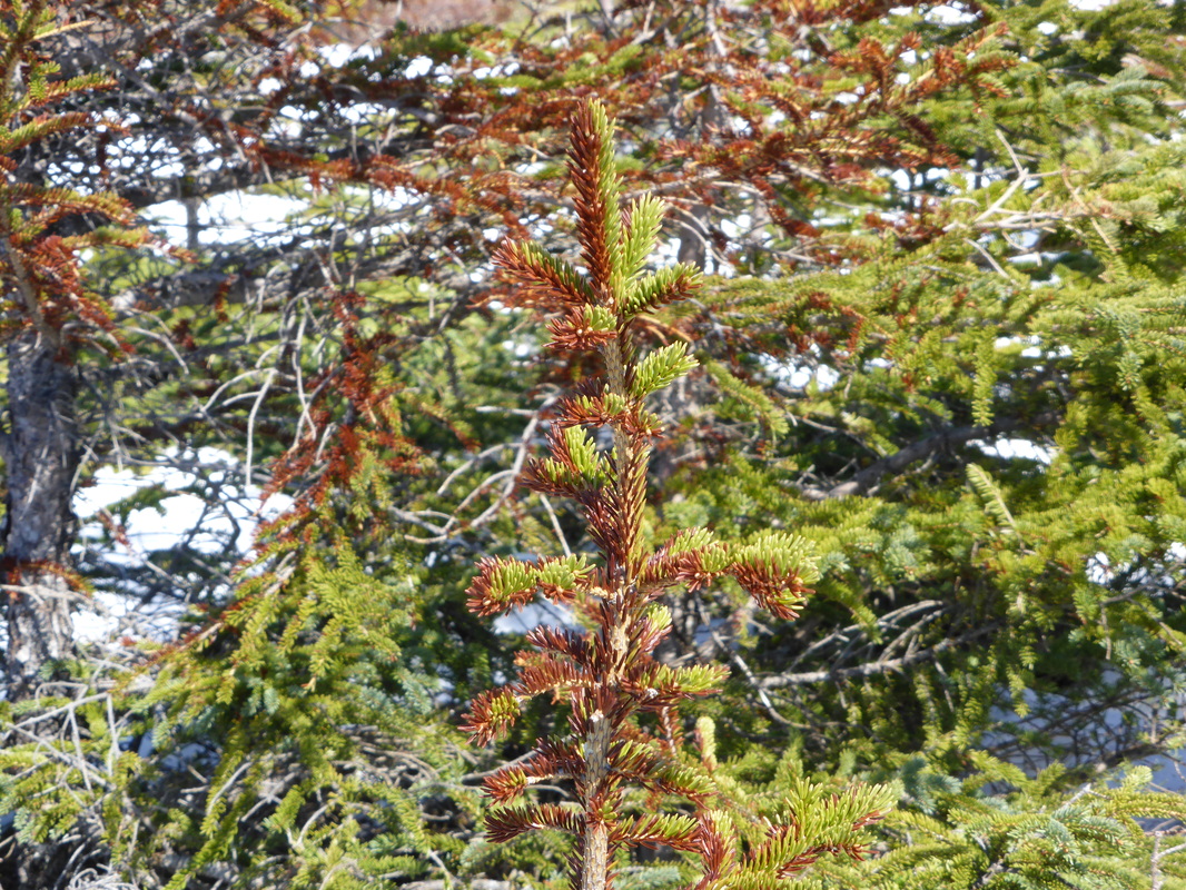
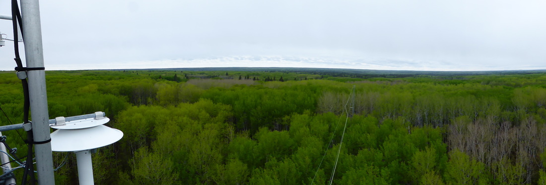
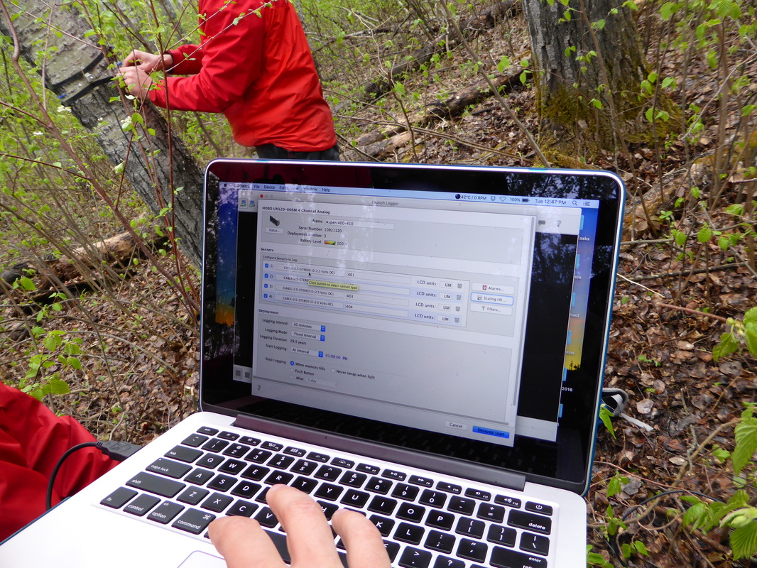
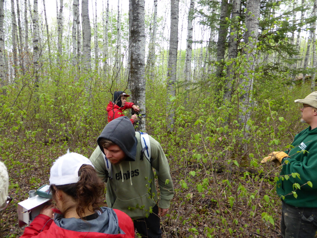
May 2016: Out and about in the Old Aspen stand in Prince Albert National Park. I was learning to deploy band dendrometers with Colin Laroque's MAD Lab. This June I'll be deploying dendrometers up in Churchill as part of a pilot study to evaluate climate response of treeline trees along a coastal gradient. There are some pure stands of larch near the Hudson Bay coast that don't appear anywhere else on the landscape. Why do these stands flourish there? I'll soon find out...


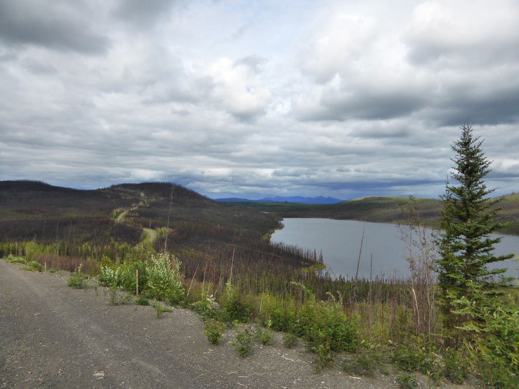
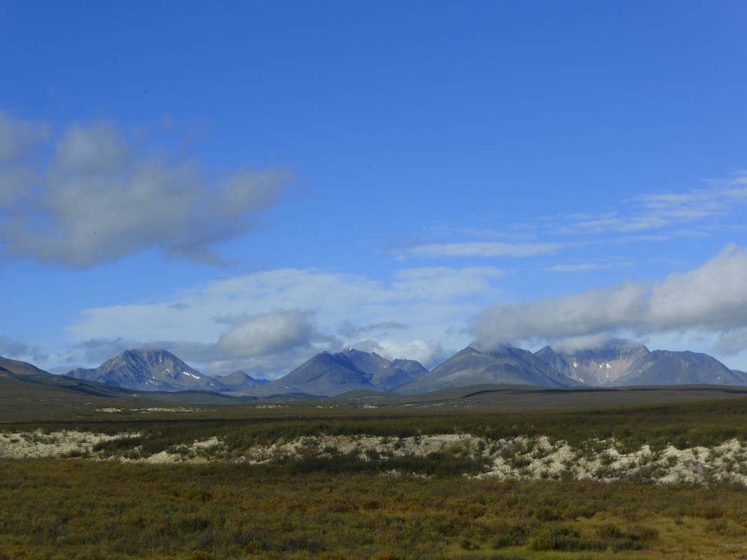
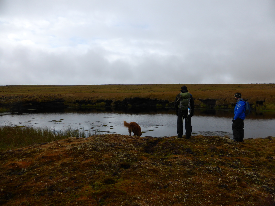
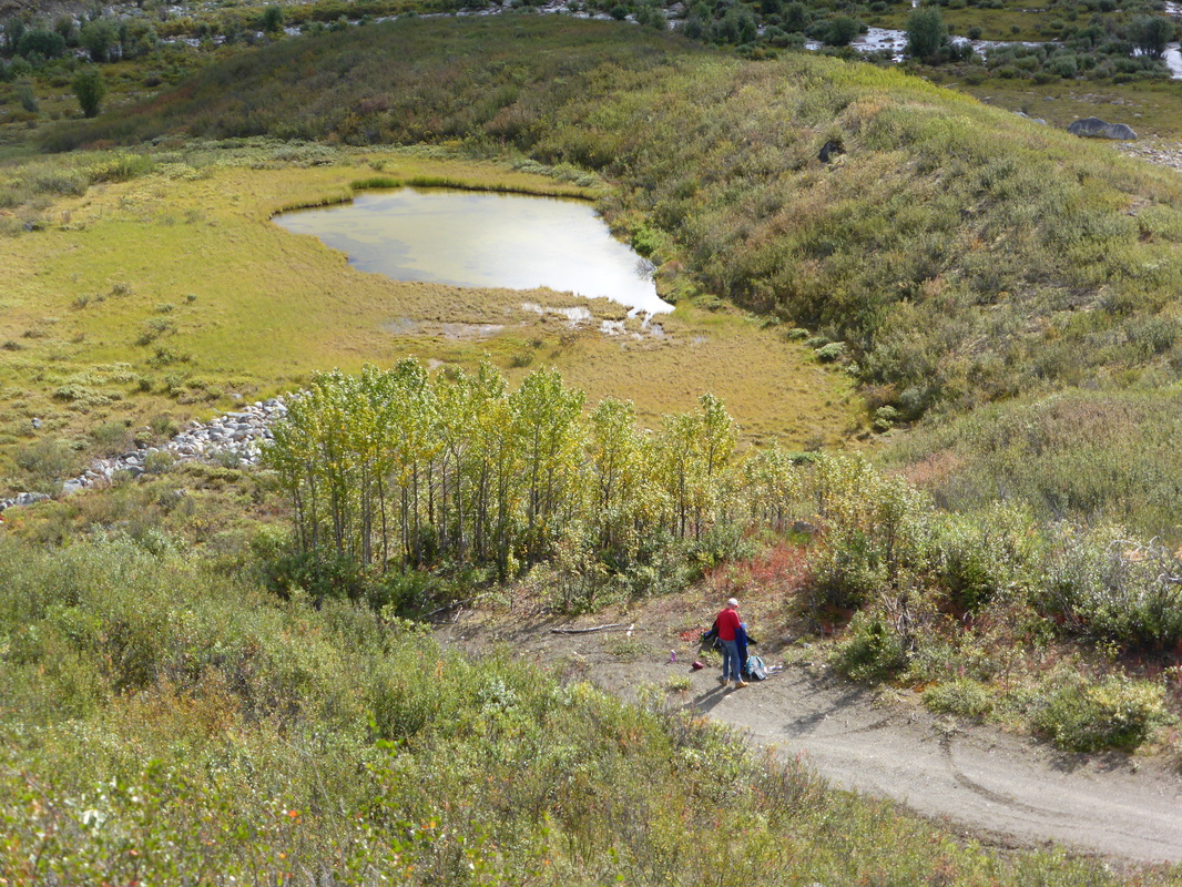
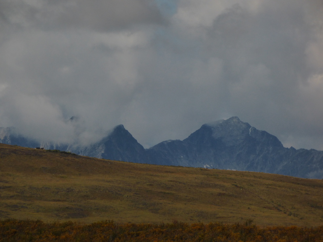
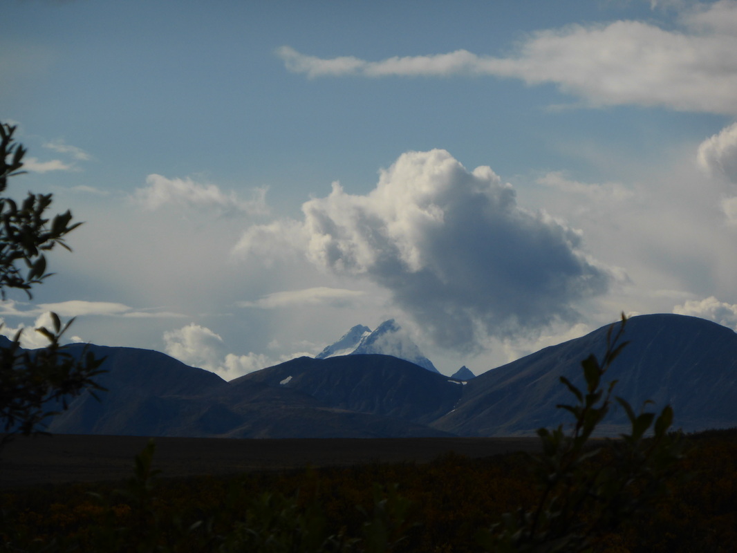
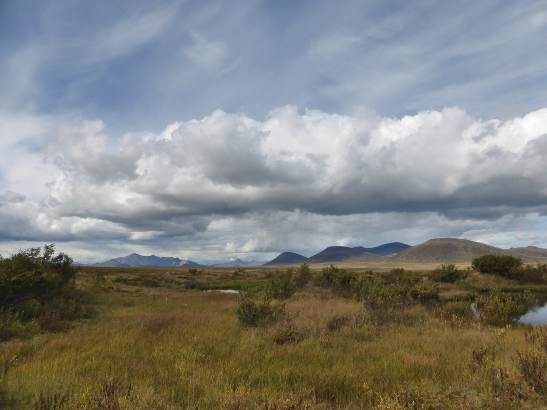
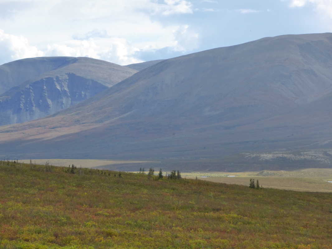
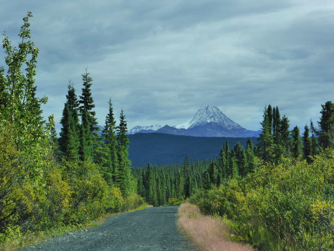
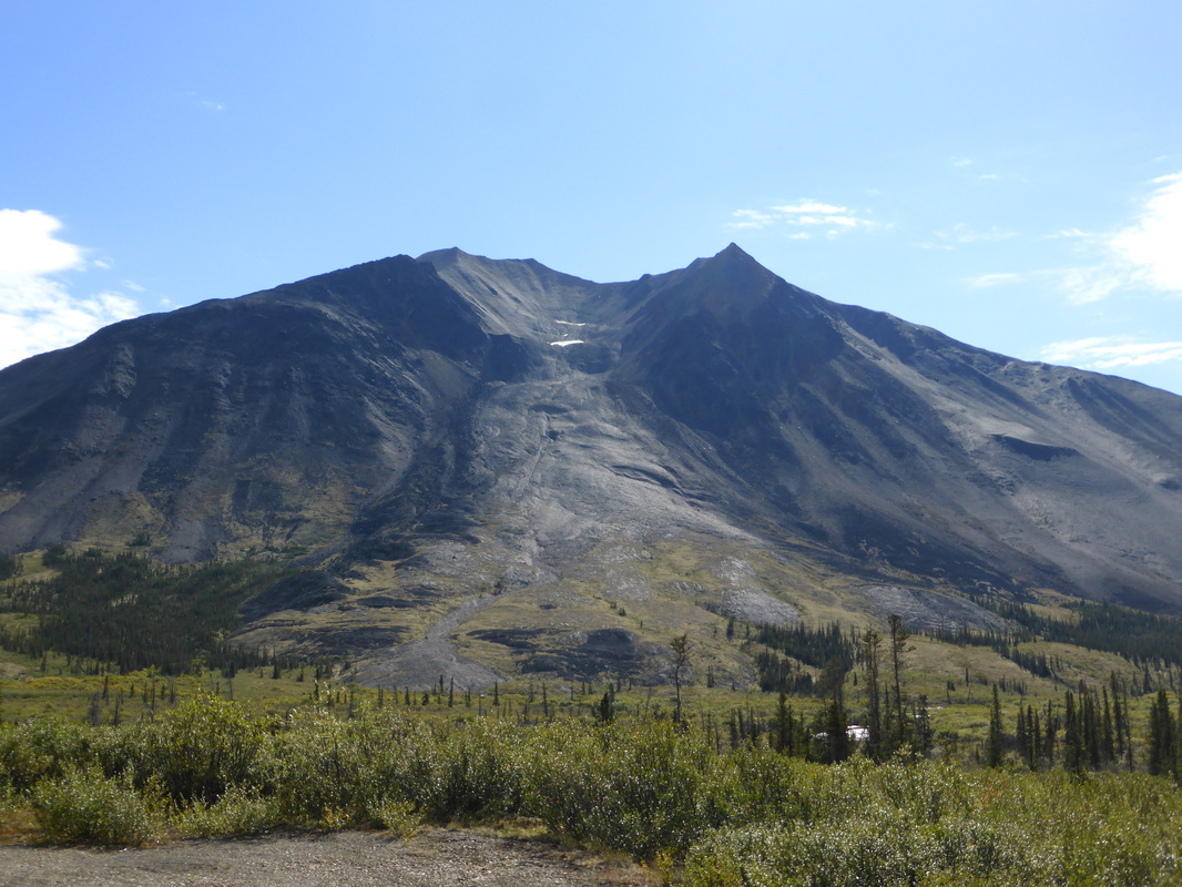
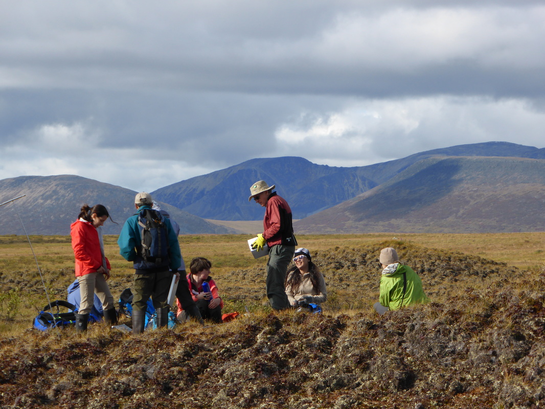
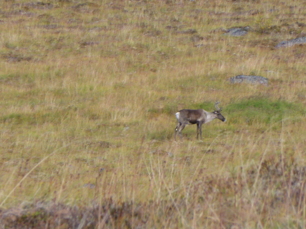
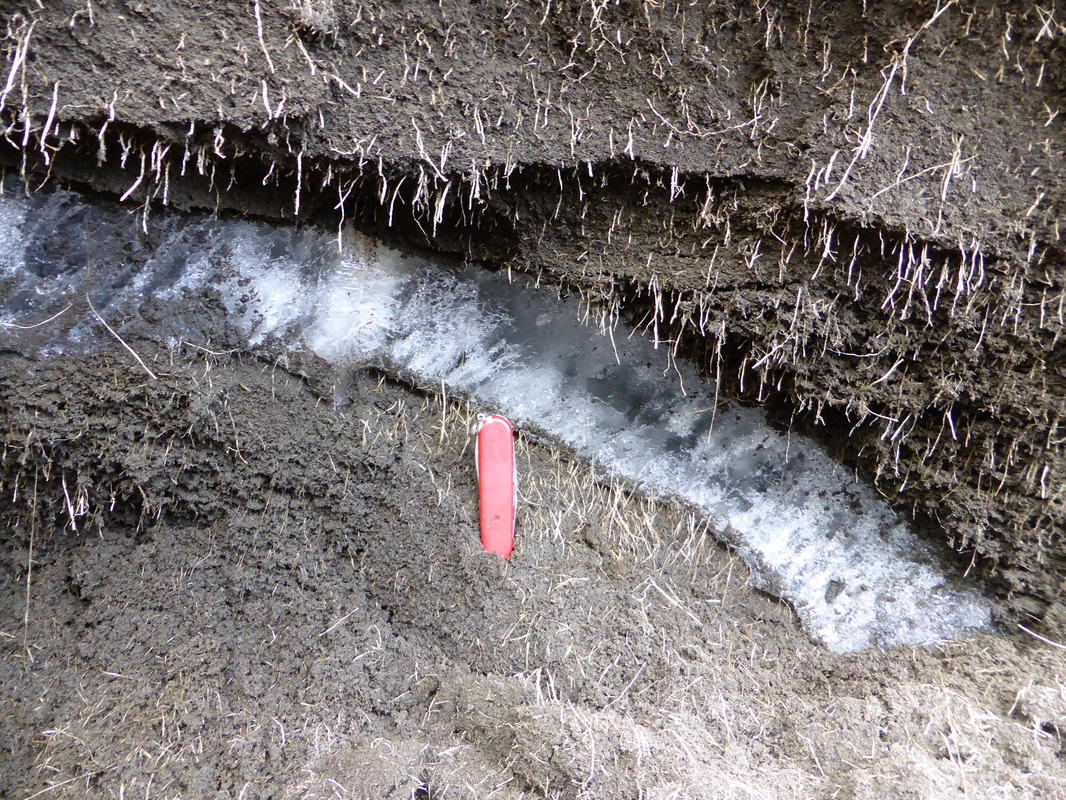
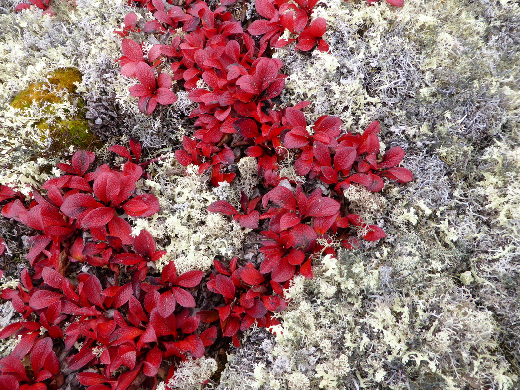
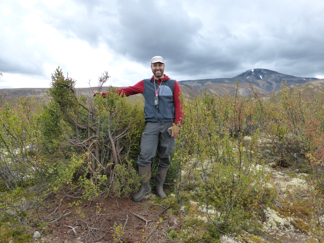
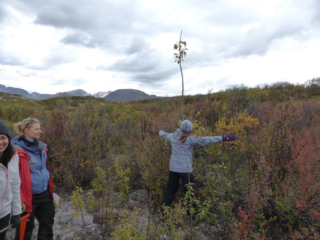
The Canol Heritage Trail in the western Mackenzie Mountains, NWT, August 2015.


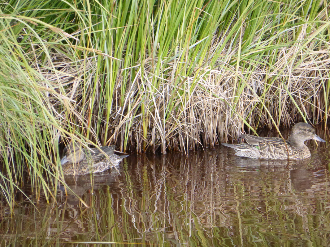


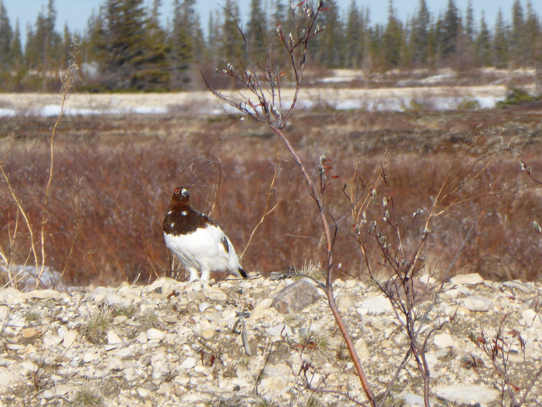
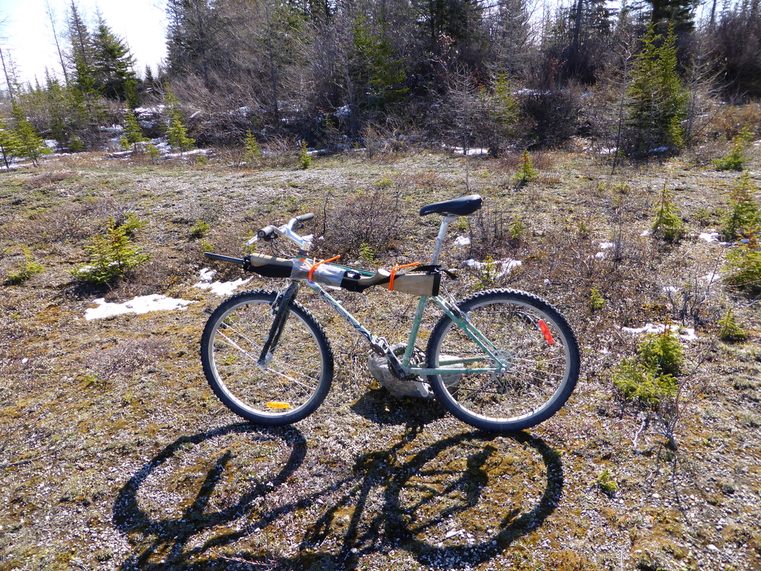
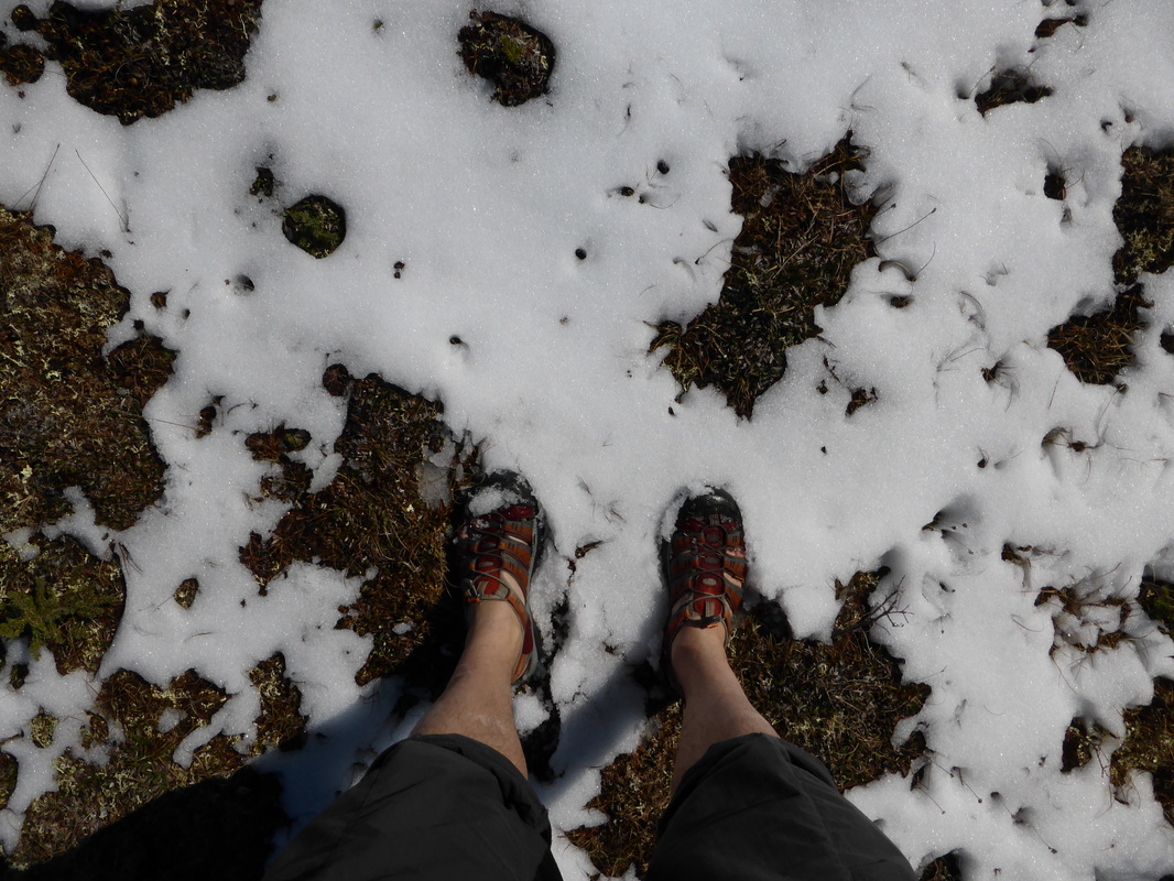
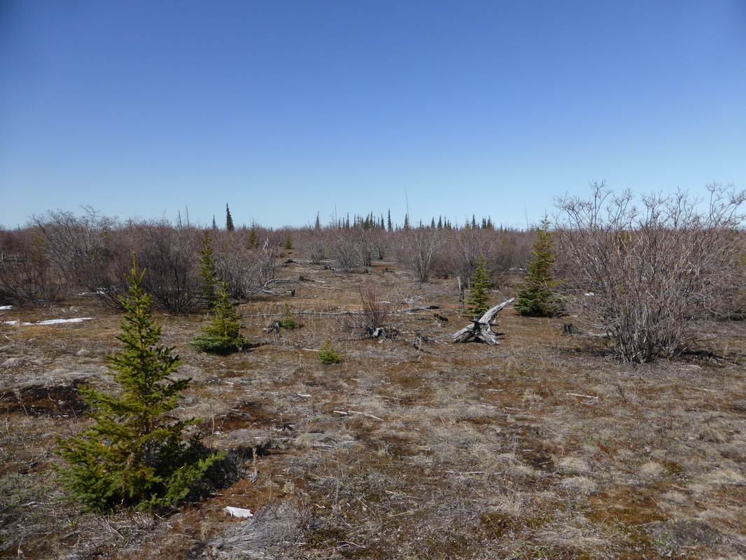
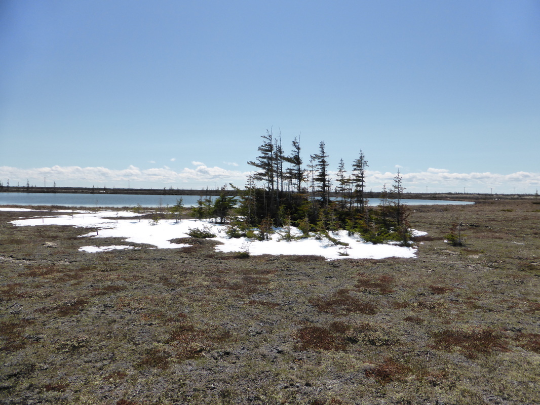
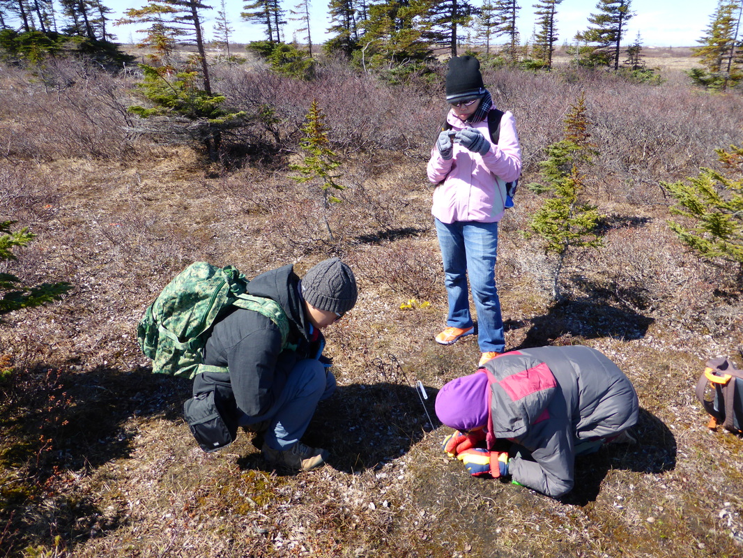
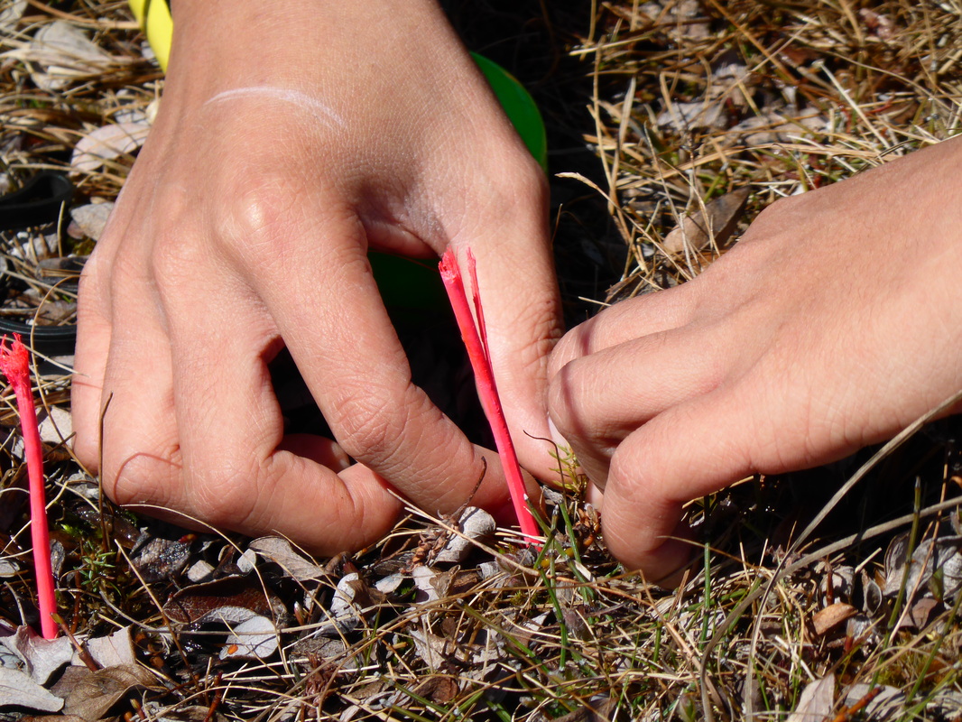
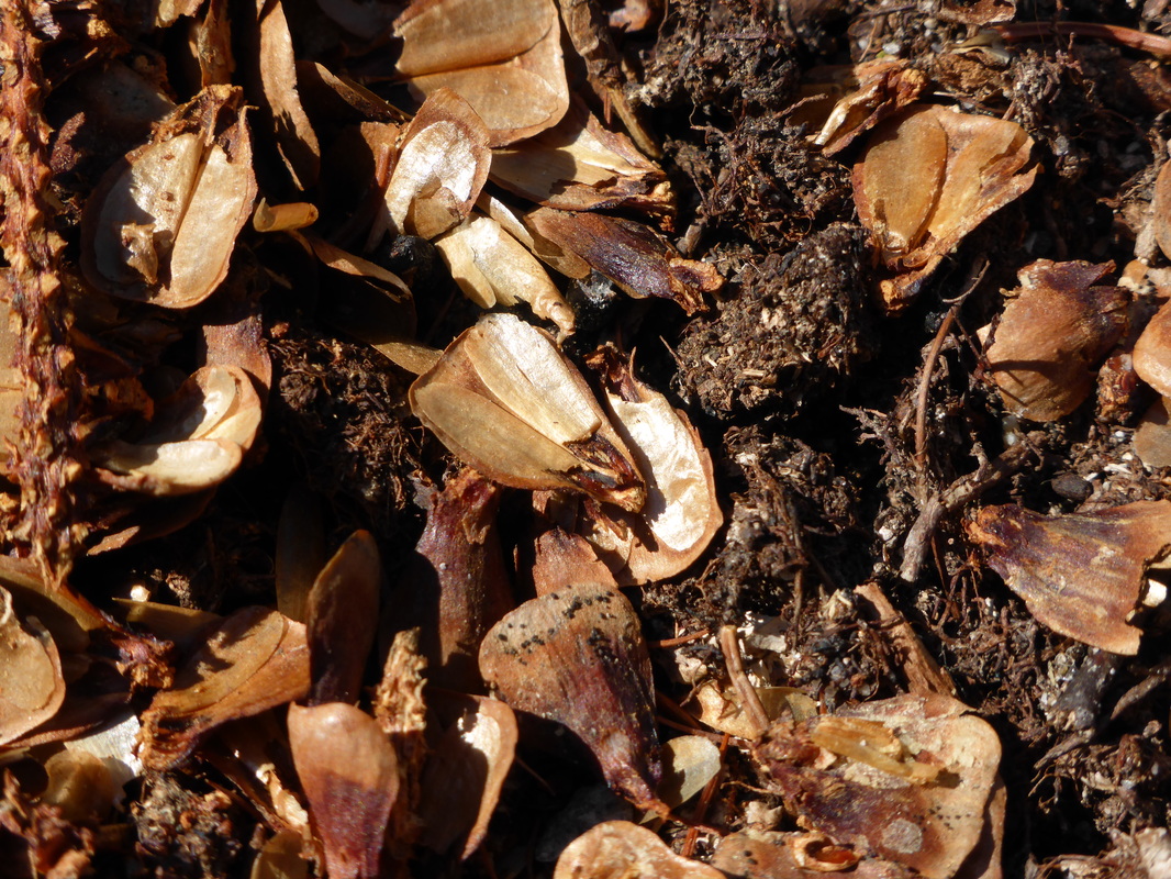
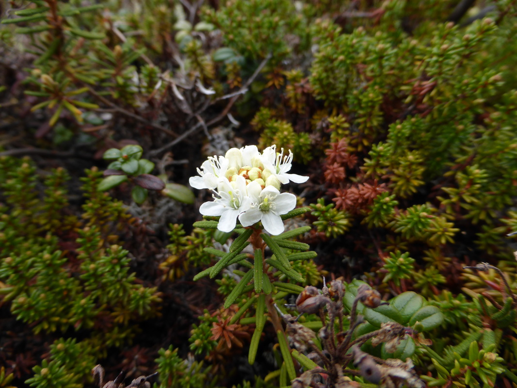
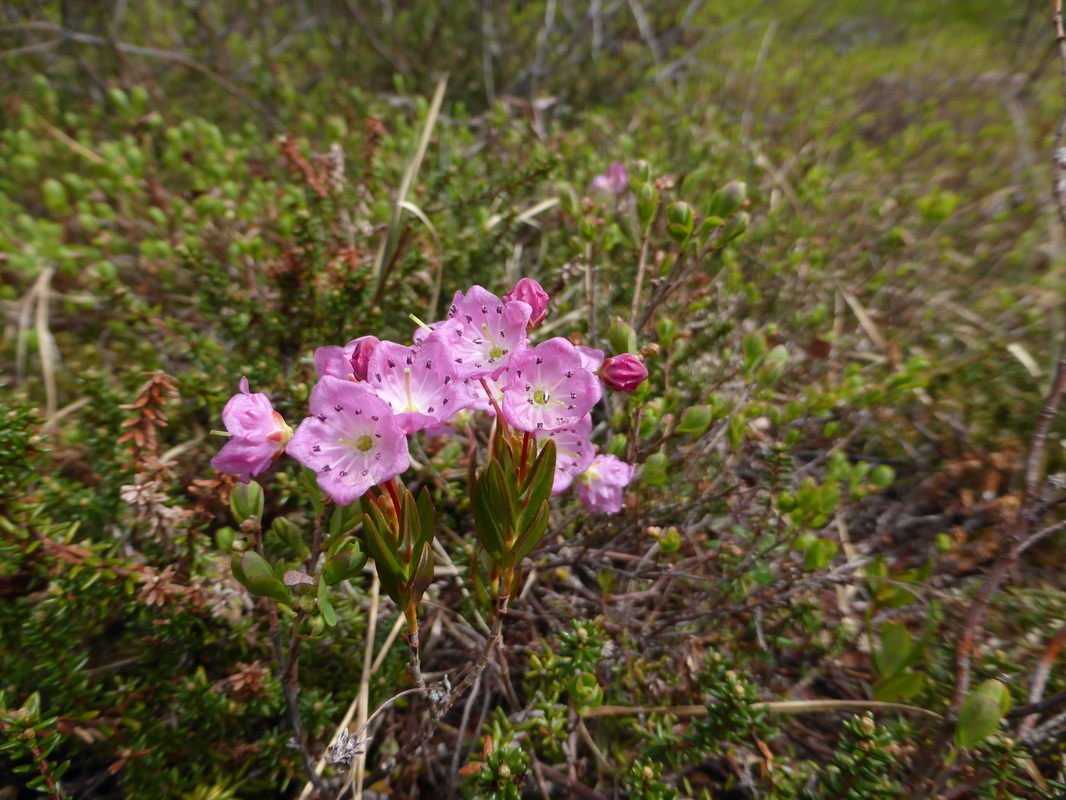
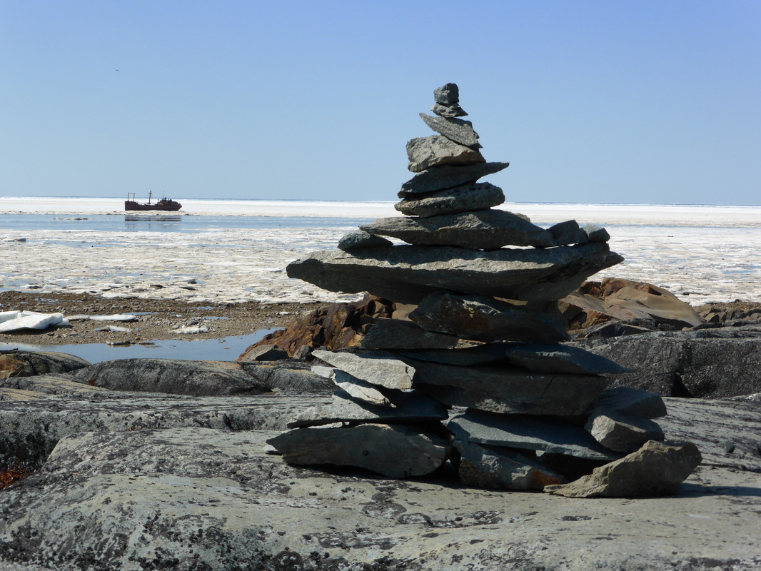
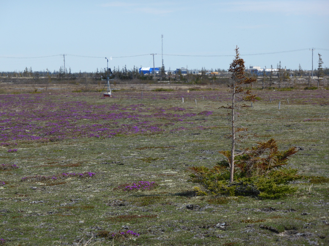
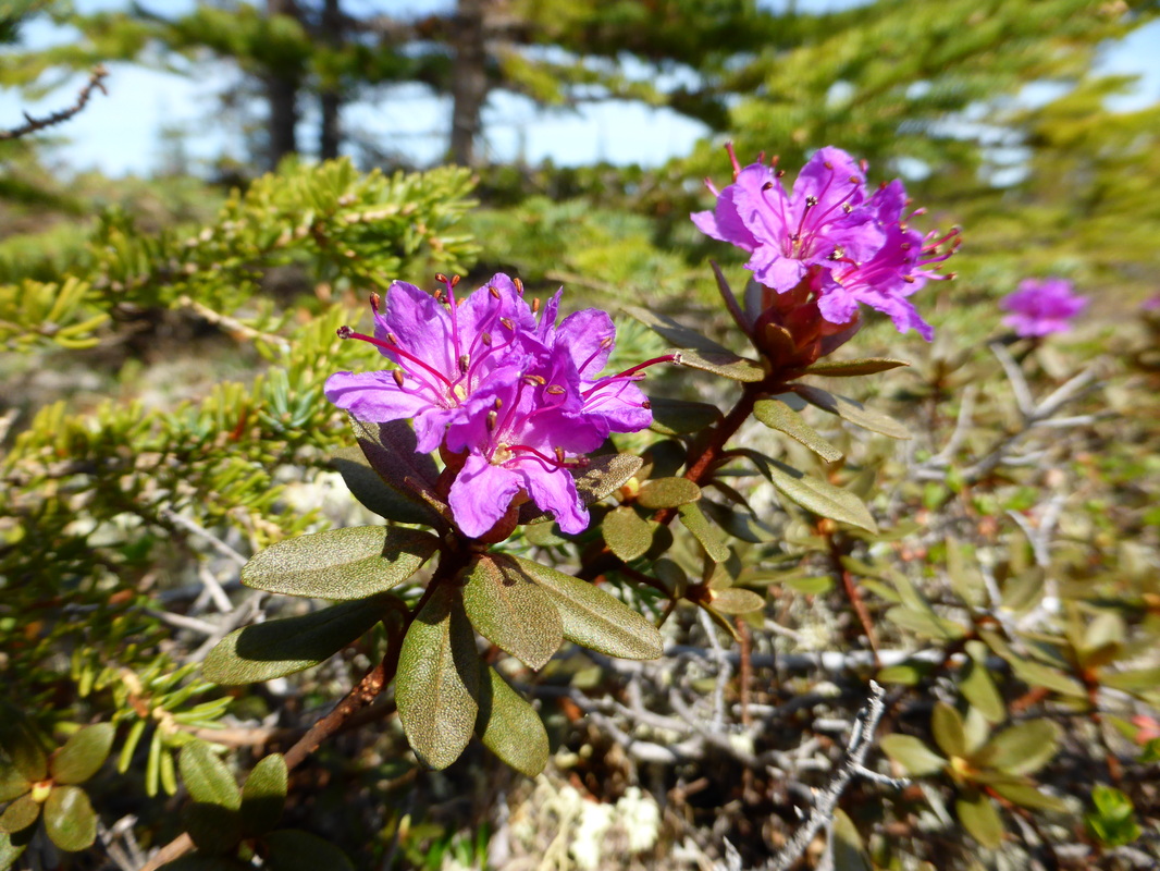
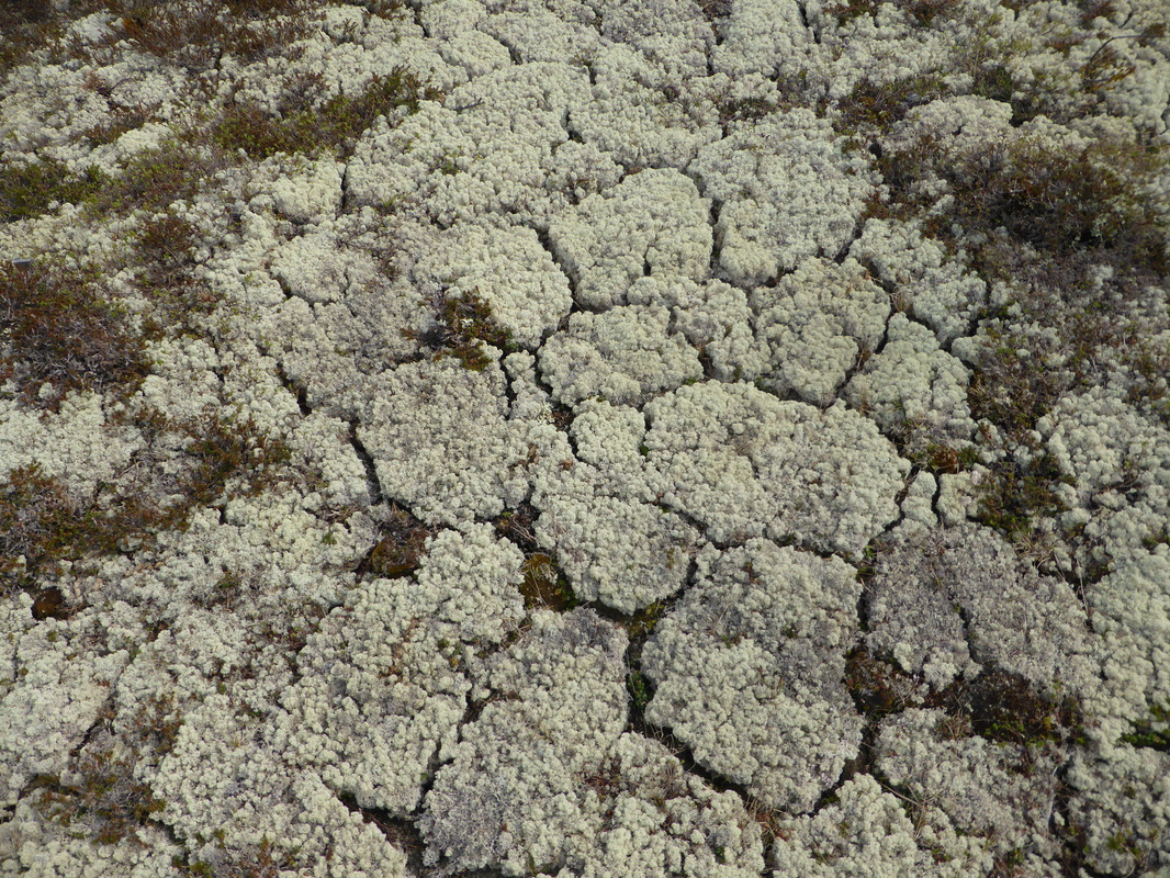
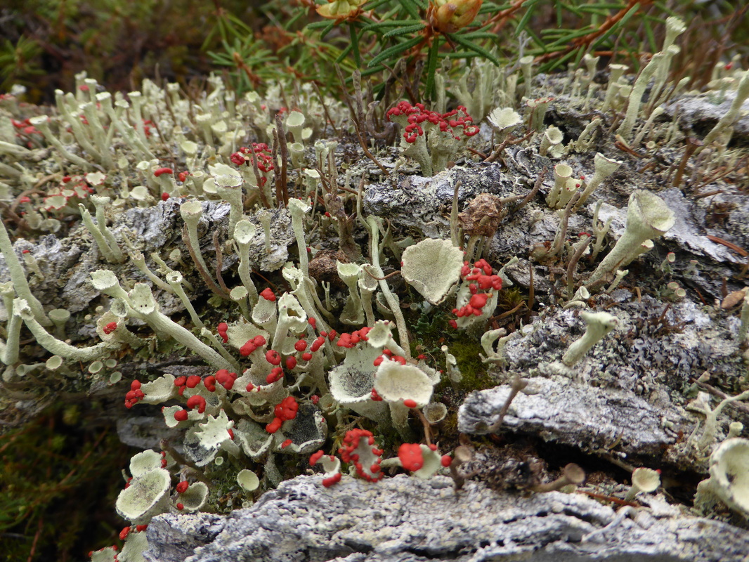
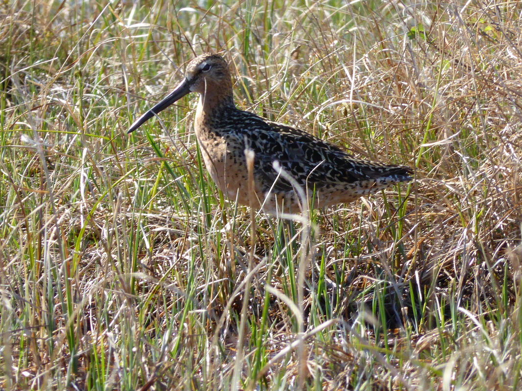
Wapusk National Park during June 2015

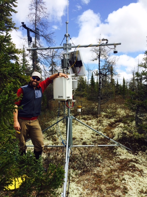
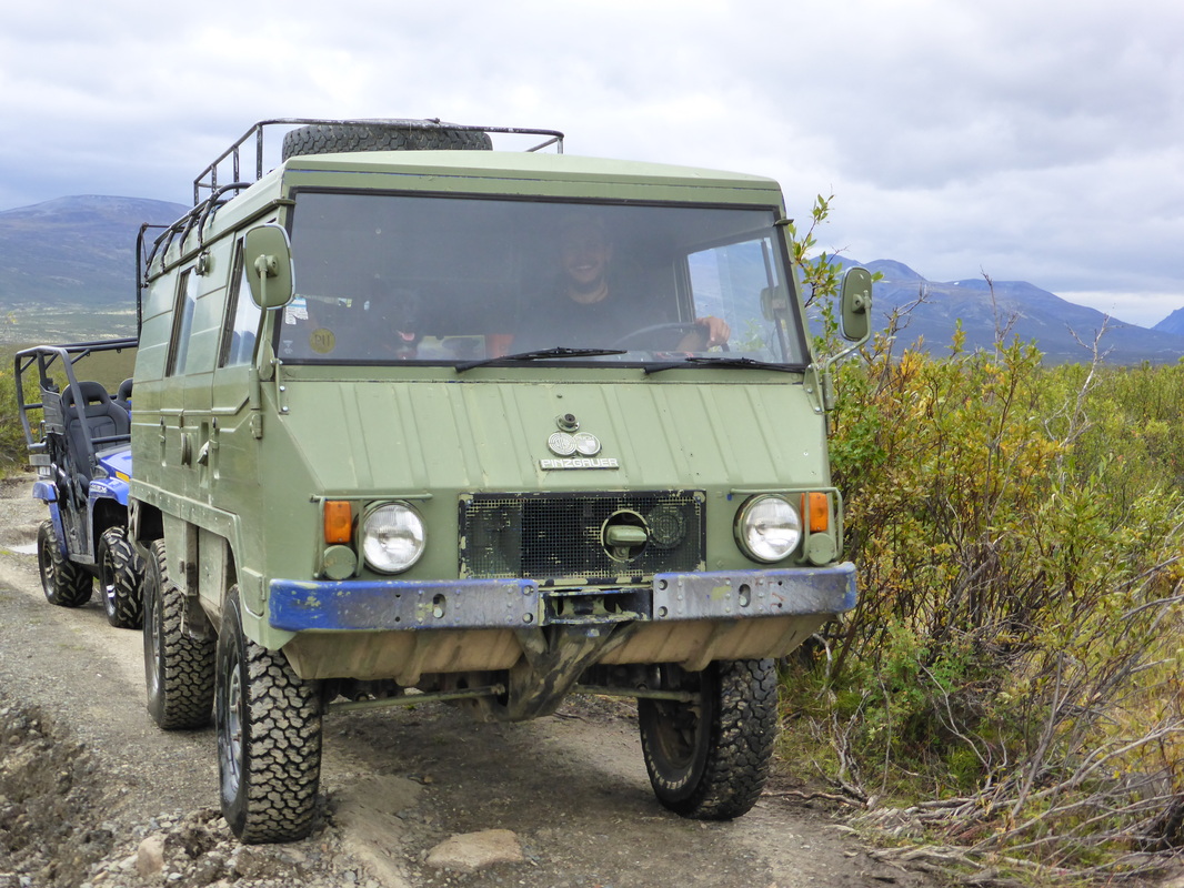
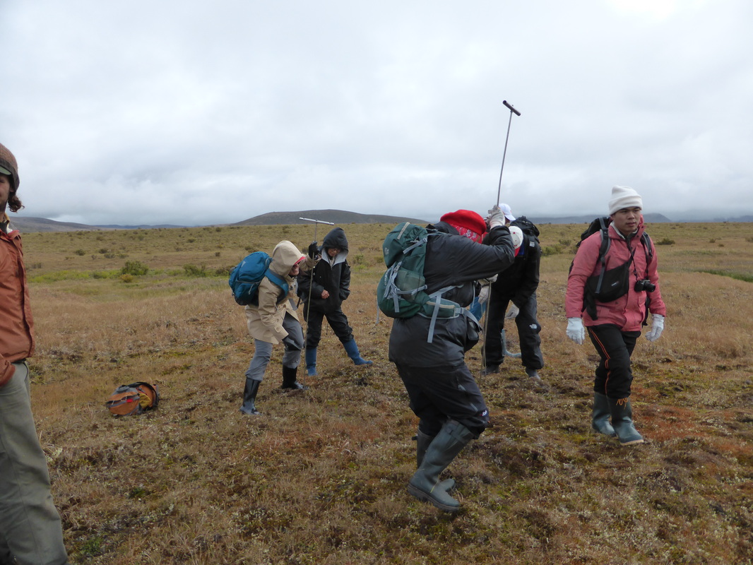
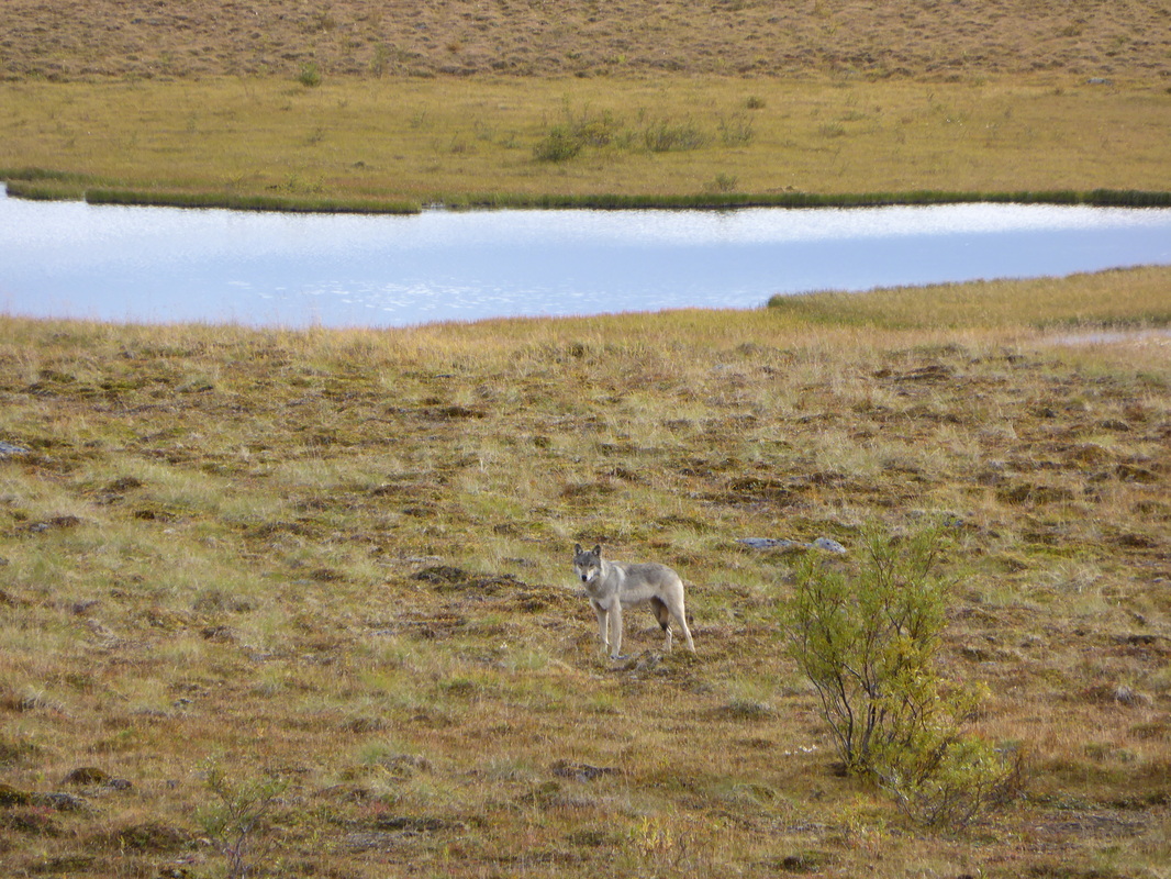
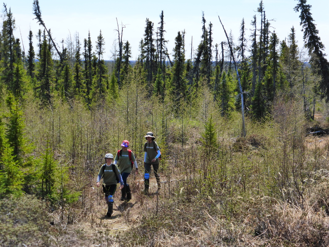
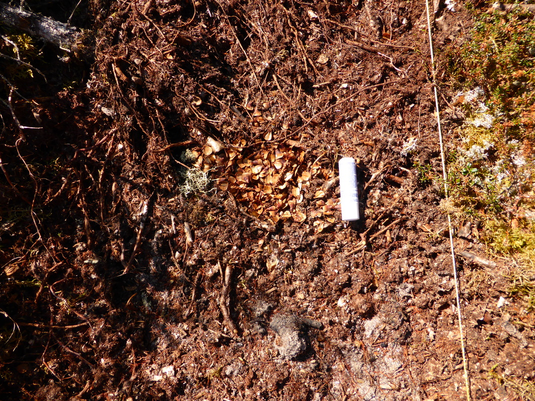
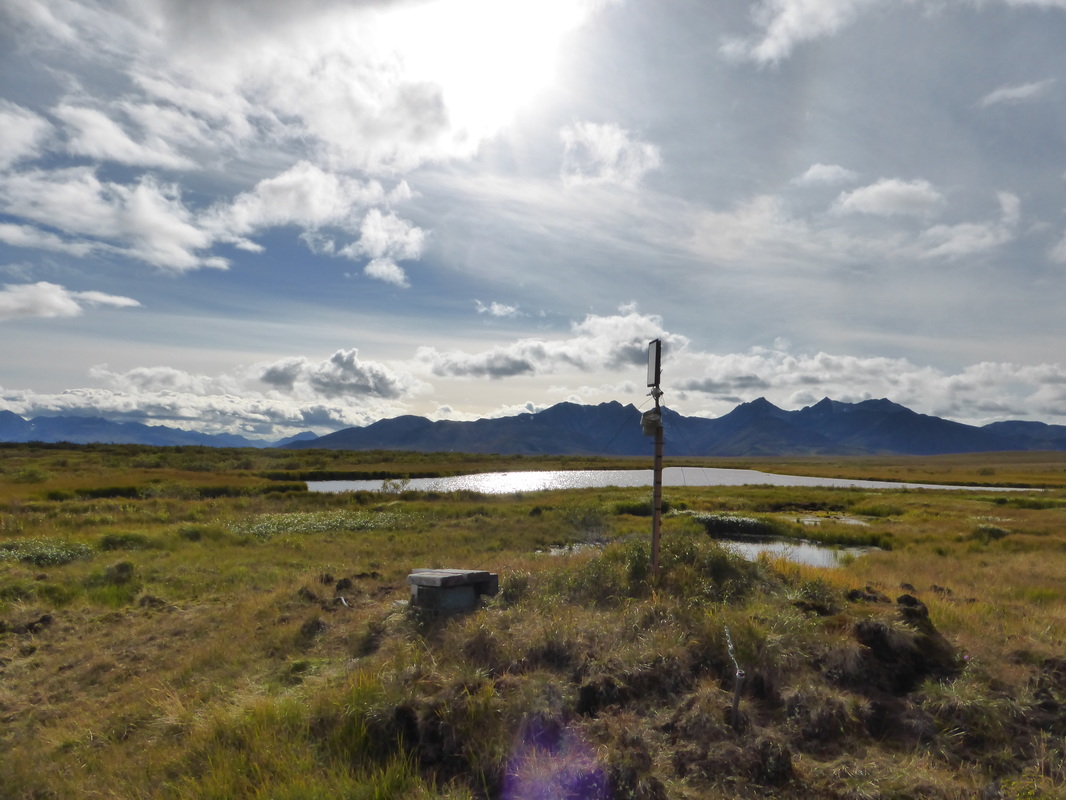
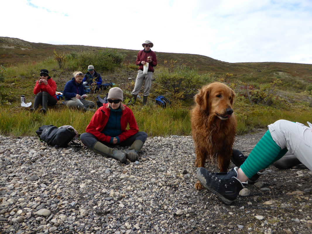
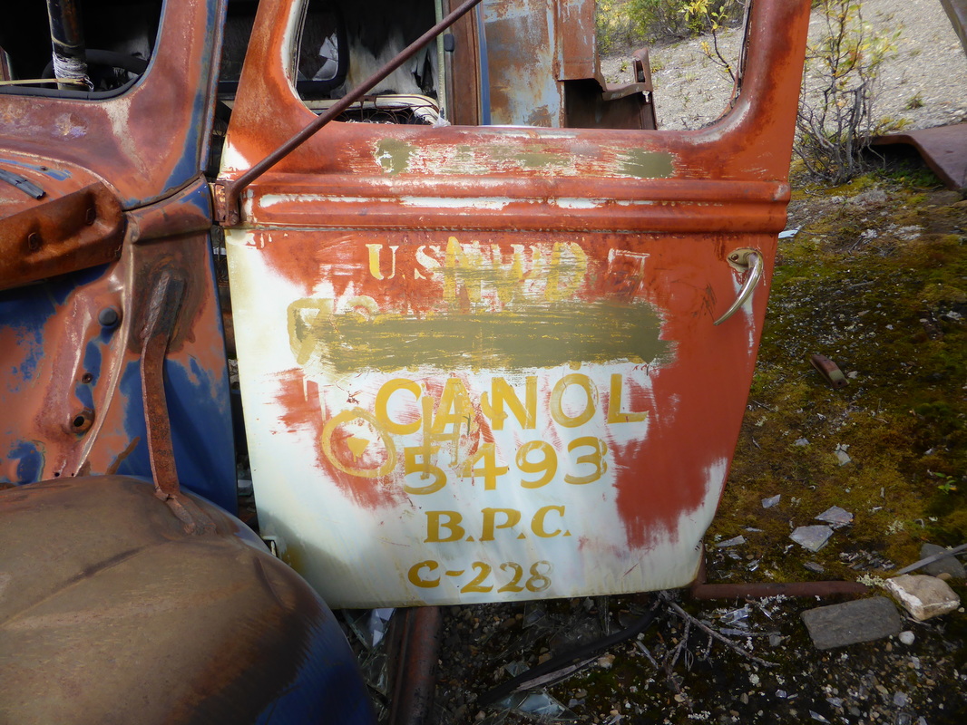
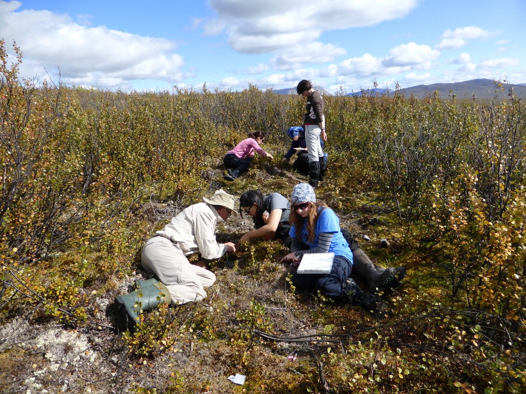
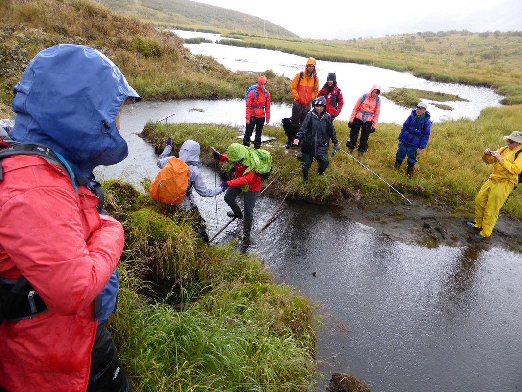
Field work along the Canol Heritage Trail in August 2014